The Spatial Train Scholarships Scheme
The Planning Authority hosted the closing seminar of the SpatialTrain Scholarship Scheme, which is part-financed by the European Union through the European Social Fund
.jpeg)
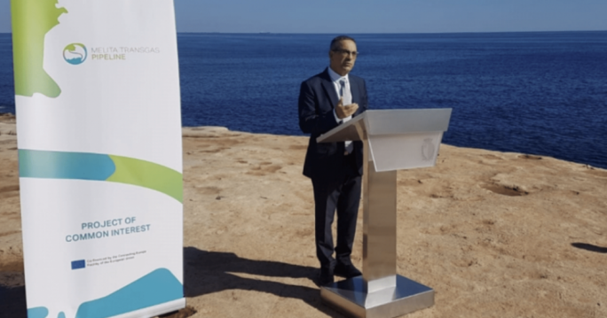
The Planning Authority (PA) hosted the closing seminar of the SpatialTrain Scholarship Scheme, which is part-financed by the European Union through the European Social Fund. The project provided 70 scholarships in the field of geospatial technology (Geomatics) for persons employed within the public service.
In his opening address Minister for Public Works and Planning, Dr. Stefan Zrinzo Azzopardi, stated, “I am satisfied that the PA has taken this initiative to provide more training on spatial data. In this era dominated by informatics and communication, it is essential to have spatial information and data more widespread and available to the public so that it can be maintained and analyzed better.”
Parliamentary Secretary for EU funds, Chris Bonett said, “This project is an investment of more than €900,000 financed by European funds. These funds continued to help improve the skills people who work in various sectors within the public sector including tourism and the environment.”
In her presentation, Dr Elaine Sciberras, Spatial Train project leader highlighted how the PA’s Scholarship Scheme, enabled participants from various government entities to obtain specialised skills in the acquisition and analysis of spatial data in the physical, natural and social environments, through 3D modelling and simulations. This enabled the enhancement of knowledge in an array of fields such as planning, public health, transport, aviation, cultural heritage, crime spatial dynamics, ecosystem monitoring, water and marine applications, amongst others. These topics aimed to provide the tuition on the principle of geomatics, the use of GIS as well as its applications to the various fields which complement the roles of various government entities. Therefore, this enabled a more efficient use and understanding of the importance of spatial science and information, across all government entities.
Overall, the value-added knowledge being acquired by these trainees contributed to upscale existing skills of these public officers for the analysis and interpretation of spatial data and aims to improve decisions based on informed results.
The seminar included a number of presentations by participants from Diploma and Masters level. In the field of communications, Ing David Scerri outlined how through his course he embarked on a nationwide Electromagnetic field (EMF) monitoring exercise along paths and carriageways across the Maltese Islands. The extensive data set collected was then interpolated producing a raster image of the EMF exposure levels. This was later cropped down to public recreation parks in Malta. All parks were found to have an exposure level below the 5% mark of the established EMF safe levels.
Another interesting study was presented by Inspector Shawn Pawney about different methods of measuring crime and understanding the best way to present data on different scales. Since not all crimes are equal, using a Crime Severity/Harm index can give a more realistic view of crime and its socio-economic impact. Using such an index also proved effective into understanding changes in crime patterns through time and helped identify local changes which influenced the national scale.
The ESF.04.071 SpatialTRAIN Scholarships Scheme project was part-financed by the European Union – European Social Fund (ESF) under Operational Programme II – Cohesion Policy 2014-2020, “Investing in human capital to create more opportunities and promote the well-being of society”.
More in People


